
Tuesday, December 9, 2014
November 14th stakeholder meeting presentations
Presentations from the November 14th, 2014 stakeholder meeting have been posted here.
Monday, October 6, 2014
Request for proposals
The SFPUC is requesting consultant proposals to provide as-needed river ecosystem science support for the Upper Tuolumne River Ecosystem Program. Details can be found on the SFPUC's website.
Wednesday, June 18, 2014
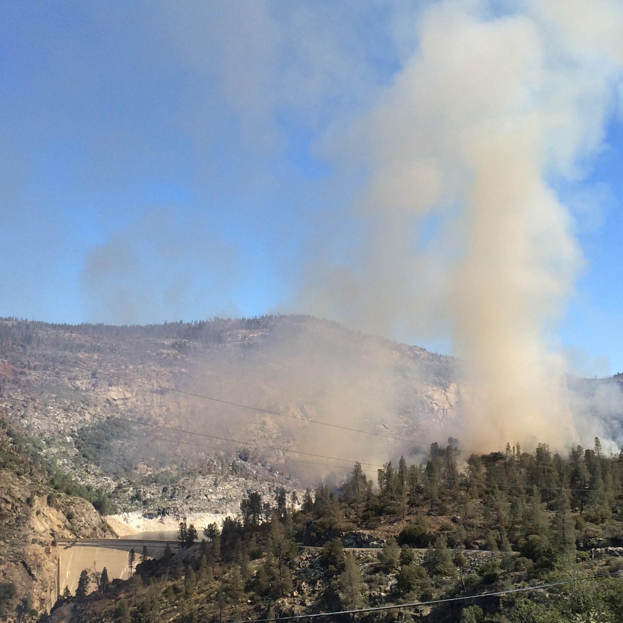
Rim Fire vegetation tracker

Monday, April 14, 2014
Looking Downstream 2013 update
Yosemite National Park's 2013 update report for the "Looking Downstream" project is available for download in the library.
Draft O'Shaughnessy Dam Instream Flow Management Plan

Main document (41 MB pdf)
Appendices (136 MB pdf)
Saturday, April 5, 2014
Tuolumne River whitewater access opens

Friday, April 4, 2014
Wapama rockfall
 |
| Recent rockfall source area adjacent to Wapama Falls (photo: Greg Stock, NPS) |
Friday, March 28, 2014
Prescribed fire at Hetch Hetchy
 |
| Prescribed burn near O'Shaughnessy Dam. Photo courtesy of Yosemite Fire Management. |
Thursday, March 27, 2014
Colorado River Delta re-watered by pulse flow
Seasonal high flow water releases, or pulse flows, are increasingly used to simulate natural hydrology and manage river habitats downstream of dams and diversions. Beginning March 23rd and continuing for eight weeks, about 1 percent of the Colorado River’s waters will be released into the Colorado River Delta in Mexico. The release is part of a five-year pilot project designed to restore the delta environment and is part of an amendment to a decades old treaty between the United States and Mexico on management of Colorado River water. Read more online.
Tuesday, January 21, 2014
Southern Sierra Fire and Hydroclimate Workshop
The first jointly scheduled Southern Sierra Fire and Yosemite Hydroclimate Workshop will be held April 22-24, 2014 in Yosemite Valley. The workshop is focused on developing an integrated view of the physical landscape, climate effects, hydrology, and fire regimes of the Sierra Nevada. This workshop was rescheduled from the original date back in October 2013 due to the federal government shutdown. To register, visit the California Fire Science Consortium website.
Friday, January 17, 2014
November 2013 stakeholder meeting materials available
Presentations and other meetings materials from the November 15, 2013 Upper Tuolumne River Stakeholder Group meeting are now available here.
Tuesday, January 14, 2014
New USGS Ward's Ferry stream gage
The USGS has installed a new stream gage near Ward's Ferry Bridge, at the upstream end of Don Pedro Reservoir, to monitor Rim Fire-related water quality parameters. The gage currently records stage, water temperature, conductance, turbidity, dissolved oxygen, and pH. The gage is funded by Modesto and Turlock irrigation districts, and the SFPUC.

Friday, January 10, 2014
2011-2012 Yosemite "Looking Downstream" report available

Yosemite National Park's 2011-2012 update report for the "Looking Downstream" project is available for download in the library.
Looking Downstream is a long-term interdisciplinary study designed to better understand the physical processes and ecology of the mainstem Tuolumne River between O’Shaughnessy Dam and the western boundary of Yosemite National Park, with a focus on the biologically diverse Poopenaut Valley. The project provides critical information used to manage environmental water releases from O’Shaughnessy Dam.